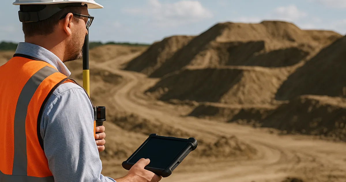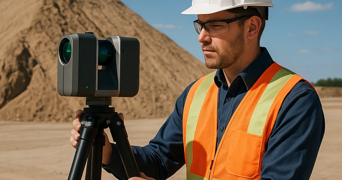
LiDAR Scanning for Volume Calculations and Site Documentation
LiDAR scanning has fundamentally changed how earthwork contractors measure stockpiles, calculate cut-and-fill volumes, and document job sites. From aerial drone surveys to ground-based terrestrial scanners, point cloud technology is delivering sub-centimeter accuracy that's reshaping project bidding, compliance, and profitability across the construction industry.
Read more →