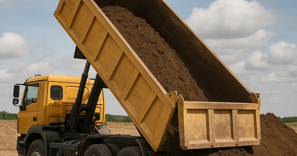
Not long ago, finding a place to dump excess excavation dirt meant making dozens of phone calls, crossing your fingers, and hoping the timing worked out. Today, a contractor can open an app, locate a receiver site within five miles, and arrange a material transfer in the time it takes to drink a cup of coffee. The earthwork and dirt industry — long considered one of construction's most analog sectors — is undergoing a quiet digital revolution, and the professionals who adapt fastest are the ones keeping their margins intact.
The numbers back this up. According to McKinsey & Company's Global Infrastructure Initiative, construction productivity has lagged behind nearly every other industry for decades, but firms that adopt digital tools see productivity gains of 14–15% on average. For earthwork contractors hauling tens of thousands of cubic yards per year, even a 10% improvement in logistics efficiency can translate to hundreds of thousands of dollars in savings.
This guide is built for excavation contractors, site developers, grading crews, aggregate suppliers, and project managers who want to know which apps, websites, and digital platforms are actually worth their time — and which ones are just noise. We've broken the landscape down by function: material matching, project management, GPS and machine control, compliance, weather, estimating, and more. Let's dig in.
Why Digital Tools Matter More Than Ever in Earthwork
The dirt industry sits at the intersection of logistics, regulatory compliance, environmental stewardship, and heavy equipment operations. That complexity used to be managed entirely through experience, relationships, and paper. But project scales are growing, regulatory scrutiny is intensifying, and fuel costs make every unnecessary haul mile a direct hit to profitability.
Consider a few industry realities:
- Fuel and trucking account for 30–50% of total earthmoving costs on most projects. Reducing haul distance by even two miles per load on a 10,000-yard job can save $15,000–$25,000 depending on truck capacity and regional fuel rates.
- The EPA estimates that there are more than 450,000 brownfield sites in the U.S. alone — many of which generate contaminated soil that must be carefully tracked and disposed of using compliant digital documentation.
- OSHA's excavation standards (29 CFR 1926 Subpart P) require precise documentation of soil classifications, which is increasingly managed through digital field tools.
- State DOT specifications — from Caltrans Standard Specifications to FDOT's Design Standards — now commonly reference digital grade control and GPS-verified earthwork volumes.
The point is simple: digital tools aren't a luxury anymore. They're a competitive requirement. Here's a comprehensive breakdown of what the industry's best operators are actually using.
Material Matching Platforms: Finding Dirt, Fill, and Aggregates Fast
The single biggest logistical headache in excavation work is balancing the dirt equation: too much dirt on one job, not enough on another, and no efficient way to connect the two. Historically, brokers, Craigslist ads, and phone trees handled this — inefficiently and expensively.
DirtMatch
DirtMatch is purpose-built for exactly this problem. The platform connects contractors who have excess excavation material with those who need fill, functioning like a marketplace for dirt, rock, and aggregate. Whether you're a developer with 5,000 yards of clean fill to move or a grading contractor searching for affordable topsoil, DirtMatch surfaces the right match based on material type, location, quantity, and timeline.
What sets DirtMatch apart is its focus on the earthwork industry specifically. Unlike general classifieds or construction marketplaces, every listing and user is oriented around soil, aggregate, and excavation. If you want to understand how DirtMatch works, the platform uses a proximity-first matching algorithm that minimizes haul distance — directly attacking the fuel and trucking costs that consume the largest share of earthwork budgets.
For contractors in high-density metro areas, this is especially powerful. In markets like dirt exchange in Los Angeles or dirt exchange in Denver, where development is constant and material demand fluctuates rapidly by neighborhood, having a real-time platform to source or offload material is a significant operational advantage.
Key Features:
- Listing and searching for dirt, fill, topsoil, rock, and aggregates
- Location-based matching to minimize haul distance
- Pro and Premium tiers for higher-volume contractors
- Active in major metro markets across the U.S.
Other Material Exchange Platforms
Dirt Broker and Construction Exchange also operate in this space, though with less specialization. Craigslist's materials section remains widely used in smaller markets but lacks any vetting, quality assurance, or soil classification tools. For serious operators, a dedicated platform like DirtMatch is the clear upgrade.
GPS and Machine Control Apps for Grading and Excavation
GPS machine control has been around since the early 2000s, but the apps and software that make it accessible — and interpretable on a smartphone or tablet — have matured dramatically in the last five years.
Trimble Earthworks
Trimble Earthworks is one of the most widely adopted GPS grade control platforms in North America. It provides real-time blade guidance for dozers, motor graders, and scrapers, reducing rework and eliminating the need for physical stakes on most grading operations. Contractors using Trimble Earthworks report cut-fill accuracy improvements from ±0.2 ft (manual) to ±0.05 ft or better — a difference that compounds across large earthmoving operations.
The Trimble Access field app, paired with Trimble hardware, allows crews to collect and verify grade data in the field, syncing with office software like Trimble Business Center for volume calculations and as-built documentation.
Topcon Positioning Systems — MAGNET Field
Topcon's MAGNET Field app is a strong competitor to Trimble in the grade control space, particularly popular with grading contractors who do significant highway and DOT work. MAGNET Field supports total station, GPS, and robotic instrument workflows, making it versatile across survey, layout, and machine control tasks.
Leica Geosystems — iCON
Leica's iCON suite is widely used in European markets and gaining traction in North America. The iCON grade app runs on ruggedized Android tablets and integrates directly with Leica machine control hardware. Its strength is in complex grading geometry — curved alignments, variable slopes, and multi-bench cut operations.
DroneDeploy and Pix4D — Drone Volume Calculations
For volume verification and cut-fill analysis, drone photogrammetry platforms like DroneDeploy and Pix4D have become standard tools for large earthwork sites. A drone survey that once required a licensed surveyor and a full day can now be completed in 45 minutes with a DJI Phantom or Matrice drone and processed automatically.
Typical accuracy: 1–2% volume error on sites under 50 acres when flown at 200–400 ft AGL with proper GCP placement. Cost: DroneDeploy starts at approximately $329/month for the construction tier; Pix4D at around $350/month.
DOT agencies in states including California, Colorado, and Washington now accept drone-derived volume calculations as part of pay-item verification, which has accelerated adoption significantly.
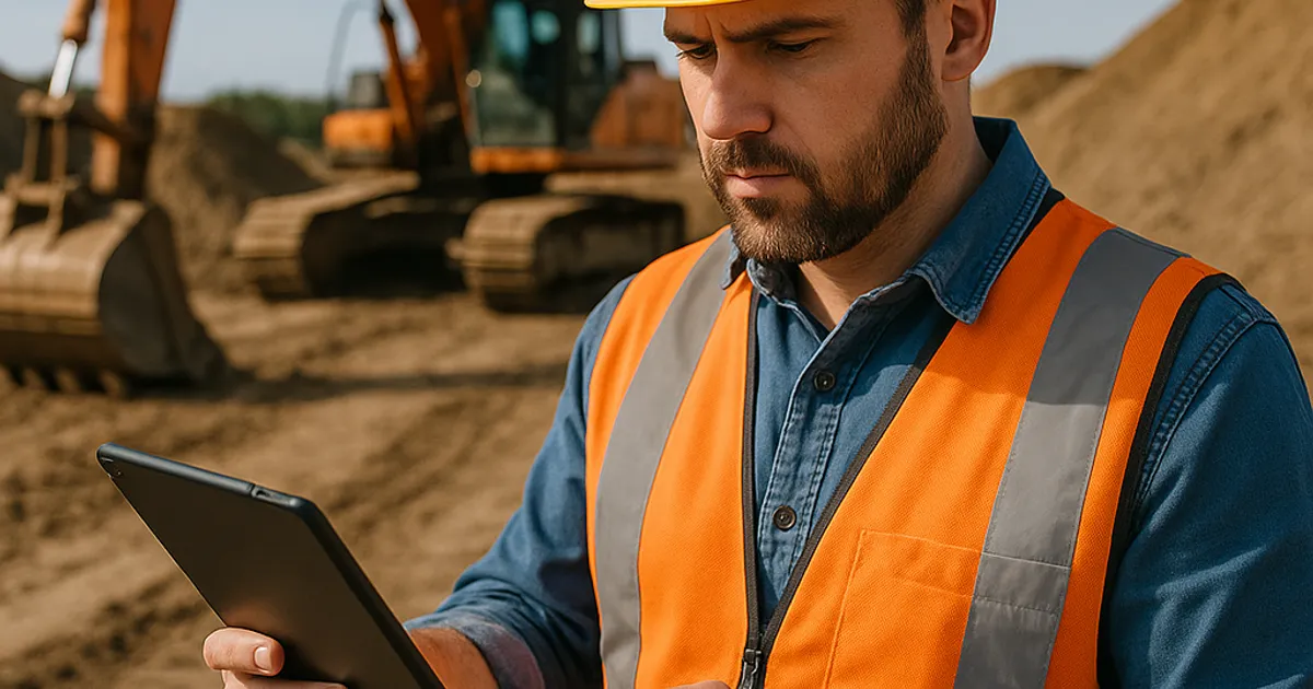
Project Management and Job Costing Apps
Earthwork contractors don't just need tools to move dirt — they need tools to manage the business of moving dirt. Project management software for construction has exploded as a category, but not all platforms handle the specific needs of heavy civil and earthwork operations equally well.
Procore
Procore is the dominant construction project management platform in the enterprise segment, with over 16,000 construction companies using it globally. For earthwork subcontractors working on large general contractor-led projects, Procore is often the GC's required platform — making it less a choice and more a requirement. Key features for earthwork operations include daily logs, RFI tracking, submittals, document management, and integrated drawing markup.
Cost: Procore prices by annual contract and project volume, typically ranging from $375–$1,200/month for specialty contractors depending on usage tier.
Fieldwire
Fieldwire is a more accessible alternative to Procore, particularly popular with mid-size earthwork and grading contractors who want plan markup, task management, and daily reporting without Procore's cost and complexity. It includes offline mode — critical for remote grading sites with spotty cell coverage.
Cost: Free tier available; paid plans from $29/user/month.
HCSS HeavyJob
For companies that are purely heavy civil and earthwork focused, HCSS HeavyJob is arguably the best purpose-built solution available. It combines field data collection, production tracking (cubic yards per hour, truck counts), cost coding, and foreman reporting in a single platform built explicitly for dirt, concrete, and paving contractors.
HCSS also offers HeavyBid for estimating — more on that in the estimating section. The integration between HeavyBid (estimating) and HeavyJob (field execution) is one of the most powerful workflows available to earthwork contractors.
Cost: HCSS is enterprise-priced; typical contracts for small to mid-size contractors run $5,000–$20,000 per year depending on modules.
Buildertrend
For smaller residential excavation and site prep contractors who don't need the full weight of HCSS, Buildertrend offers scheduling, client communication, budget tracking, and daily logs at a more accessible price point, starting around $199/month.
Estimating Software for Earthwork and Grading
Accurate earthwork estimating is notoriously difficult. Volume calculations, swell and shrinkage factors, haul distances, equipment productivity rates, and material costs all interact in ways that make manual spreadsheets error-prone and time-consuming.
HCSS HeavyBid
HeavyBid is the gold standard for heavy civil estimating. It handles cut-fill analysis, haul optimization, equipment cost modeling, crew composition, and bid tabulation in a workflow designed for DOT and private heavy civil projects. Its database of historical production rates — drawn from thousands of real earthwork projects — makes it particularly powerful for estimating large grading and excavation scopes.
Agtek Earthwork
Agtek Earthwork is a specialized software suite focused entirely on earthwork takeoff and volume calculation. It processes digital terrain models (DTMs), design files, and scanned plan sheets to produce cut-fill analysis, mass haul diagrams, and quantity reports. Agtek is widely used by estimators who need to quickly turn around accurate earthwork quantities from plan sets — a critical skill when bidding multiple projects simultaneously.
Cost: Agtek 4D (their flagship product) runs approximately $3,000–$5,000 for a single license.
Earthwork Estimating with CAD Integration
Many contractors now use Civil 3D (Autodesk) or AGOL (ArcGIS Online) for earthwork takeoff when digital design files are available from the engineer. Civil 3D's grading and volume dashboard tools are extremely powerful but require significant training investment. The ASCE (American Society of Civil Engineers) maintains continuing education resources on Civil 3D for earthwork that many contractors use to upskill their estimating teams.
Comparison Table: Estimating Tools for Earthwork
| Tool | Best For | Price Range | Learning Curve |
|---|---|---|---|
| HCSS HeavyBid | Large civil bids, DOT work | $5,000–$15,000/yr | High |
| Agtek Earthwork | Volume takeoff, mass haul | $3,000–$5,000 license | Medium |
| Autodesk Civil 3D | Design-integrated earthwork | $3,500+/yr | High |
| Buildertrend | Residential site prep | $199–$499/mo | Low |
| On-Center On-Screen Takeoff | General takeoff | $1,500–$2,500/yr | Medium |
Weather and Site Condition Apps
No earthwork contractor can afford to ignore weather. Rain events, freeze-thaw cycles, and excessive heat all directly affect soil trafficability, compaction quality, and schedule. The cost of mobilizing equipment to a site that isn't ready — or failing to compact because soil moisture is too high — is immediate and measurable.
Weather Underground / Weather.com Professional
While consumer weather apps are fine for personal use, professional earthwork operations need hyperlocal, hour-by-hour forecasting with soil and precipitation accumulation data. Weather Underground's WunderMap provides station-level weather data from a dense network of personal weather stations, giving contractors site-level precipitation data that airport-based NOAA stations often miss.
DTN / Progressive Farmer
DTN (Data Transmission Network) is widely used in agricultural grading and land development for its soil moisture modeling and precision weather forecasting. For contractors doing large-scale land grading, DTN's agronomic layers provide soil trafficability predictions that can prevent costly equipment ruts and compaction failures.
NOAA Weather.gov
The National Oceanic and Atmospheric Administration's weather.gov remains the authoritative source for official precipitation records — important for claims documentation, contract dispute support, and force majeure event verification. Many earthwork contracts allow schedule extensions for precipitation exceeding historical averages, and weather.gov's historical data is the standard reference.
Soil Web and Surgo
For soil type identification — particularly on sites without a geotechnical report — SoilWeb (UC Davis) and USDA Web Soil Survey are indispensable free resources. SoilWeb provides USDA NRCS soil series data by GPS location, allowing contractors to anticipate drainage characteristics, plasticity, and swell/shrinkage behavior before the first machine hits the ground.
Compliance, Permitting, and Environmental Apps
Earthwork compliance is one of the fastest-growing pain points in the industry. NPDES stormwater permits, SWPPP requirements, hazardous material tracking, and endangered species constraints mean that moving dirt is rarely as simple as it looks. Digital tools are helping contractors stay ahead of violations — which can run from $10,000 to $50,000+ per day under EPA enforcement actions.
eSWPPP and Graniterock SWPPP Manager
Stormwater Pollution Prevention Plans (SWPPPs) are federally required under the EPA's NPDES Construction General Permit for any land disturbance over one acre. Digital SWPPP management tools — including state-specific platforms in California (SMARTS), Washington (Ecology's online system), and others — allow contractors to log inspections, upload photos, document BMP installations, and submit reports directly to the regulatory agency.
SMARTS (Stormwater Multiple Application and Report Tracking System) is mandatory for California earthwork projects, and failure to file timely inspection reports can trigger NOVs (Notices of Violation) with significant financial penalties.
Greenroads and LEED Documentation Tools
On sustainability-focused projects, contractors may need to track material sourcing, recycled content percentages, and hauling distances for green building certification. Tools like ecomedes and the LEED Project Portal help document material provenance and environmental impact metrics that are increasingly specified by public agency clients.
iAuditor / SafetyCulture
For daily safety compliance on excavation sites — OSHA Subpart P soil classification, cave-in protection documentation, and pre-shift equipment inspections — iAuditor by SafetyCulture is one of the most widely adopted field audit tools in construction. It allows supervisors to complete digital checklists, add photos, assign corrective actions, and generate PDF reports in real time. OSHA's excavation standard (29 CFR 1926.652) requires competent person inspections before each shift, and iAuditor makes that documentation defensible and time-stamped.
Trucking and Logistics Apps for Dirt Hauling
Once material is matched and a haul route is established, the logistics of actually moving it efficiently becomes the challenge. Fleet management, load counting, and driver coordination are areas where digital tools deliver immediate ROI.
Trux
Trux is a trucking marketplace and fleet management platform built specifically for construction materials hauling, including dirt, aggregates, and rock. It allows site superintendents to order trucks on demand, track loads in real time, and automate ticketing — replacing the paper ticket workflow that has caused billing disputes for decades.
Trux's load tracking gives both the material provider and receiver a verified count of delivered loads, which is especially valuable when billing by the yard or ton on large fill projects.
HCSS Trucking
For contractors who manage their own fleet, HCSS Trucking integrates with HeavyJob to provide dispatch, GPS tracking, and load counting in a system that feeds directly into job cost reporting. This eliminates the double-entry of load counts from paper tickets into the project management system.
Google Maps / Waze for Haul Route Planning
While it seems obvious, many contractors underutilize Google Maps' route optimization features for haul trucks. Using Google Maps Platform's Directions API, some larger contractors have built custom haul optimization tools that factor in truck restrictions, bridge weight limits, and time-of-day traffic patterns. For most operations, simply checking Google Maps for construction delays and alternate routing before dispatch can save meaningful time across a fleet.
RoadWarrior
RoadWarrior is a multi-stop route optimizer that truck dispatchers use to sequence multiple delivery or pickup stops efficiently. For dirt contractors running multiple dump sites in a single day, RoadWarrior's route sequencing can meaningfully reduce dead miles.
Find or Post Dirt, Rock & Aggregate
Join thousands of contractors using DirtMatch to buy, sell, and exchange earthwork materials.
Try DirtMatch FreeEquipment and Fleet Management Platforms
Heavy equipment is the largest capital investment most earthwork contractors carry, and managing it poorly — through deferred maintenance, idle time, or underutilization — directly erodes profitability.
Caterpillar VisionLink / Cat App
For contractors running Cat iron, VisionLink (now available through the Cat App) provides telematics data including hours, fuel consumption, idle percentage, fault codes, and location — all accessible from a smartphone. Industry benchmarks suggest that reducing machine idle time from 40% to 25% can reduce fuel costs by 10–15% on a typical dozer or excavator.
Komatsu Smart Construction
Komatsu's Smart Construction ecosystem goes beyond telematics into integrated site management — combining drone surveys, machine control, and production analytics into a single dashboard. For Komatsu-heavy fleets doing large grading projects, it provides a compelling single-pane-of-glass view of site progress.
EquipmentShare
EquipmentShare offers both equipment rental and a telematics platform (T3) that is brand-agnostic — meaning it can track Cat, Komatsu, John Deere, and other brands from a single interface. For mixed fleets, this is a significant advantage. EquipmentShare's rental marketplace also gives contractors flexible access to equipment for peak demand periods without the carrying cost of ownership.
Mapping and Site Data Platforms
Understanding a site before equipment arrives is one of the most valuable things a contractor can do. Digital mapping and site data platforms have made it possible to do significant pre-construction due diligence from a laptop or smartphone.
Google Earth Pro
Google Earth Pro (free for desktop) remains one of the most useful tools available to earthwork estimators and project managers. Historical imagery layers allow contractors to see how a site has changed over time — critical for identifying underground obstructions, past drainage patterns, or unauthorized fill areas. The measurement tools, while not survey-grade, are useful for preliminary quantity estimates and haul route planning.
USGS National Map Viewer
The USGS National Map provides free access to topographic data, contour maps, and aerial imagery across the entire United States. For contractors doing preliminary feasibility on remote sites, the National Map's 1/3 arc-second DEMs (Digital Elevation Models) allow basic cut-fill analysis without a formal survey.
Nearmap
Nearmap provides high-resolution aerial imagery updated multiple times per year across major U.S. metros. For estimators pricing work in urban areas, Nearmap's imagery is significantly more current than Google Earth and includes AI-powered measurement tools. Many grading contractors use Nearmap to perform desk-top quantity checks before visiting a site.
Regrid / Parcel Viewer
For identifying property owners, parcel boundaries, and zoning designations — all relevant when arranging off-site disposal or sourcing fill from private land — Regrid aggregates county assessor parcel data into a clean, searchable national map. It's particularly useful for contractors in markets like dirt exchange in Seattle or dirt exchange in San Francisco, where land ownership is complex and valuable.
Communication and Bidding Platforms
Winning work is as important as executing it. Earthwork contractors need efficient ways to find new opportunities, respond to bids, and communicate with GCs, owners, and agencies.
iSqFt / ConstructConnect
ConstructConnect (which acquired iSqFt) is the leading platform for finding private construction bid opportunities in North America. Subscribers receive project leads based on trade, geography, and project type. For earthwork and grading subcontractors, a ConstructConnect subscription is often the primary source of new bid invitations outside of existing GC relationships.
Dodge Data & Analytics
Dodge provides project intelligence for construction, including early-stage project leads, owner information, and bidding status. It's particularly valuable for identifying infrastructure and public works projects that include significant earthwork scopes before they hit formal bid advertising.
BidClerk and Building Connected
BuildingConnected (Autodesk) has become the standard ITB (Invitation to Bid) platform for many large general contractors. Earthwork subs who aren't registered on BuildingConnected are effectively invisible to GCs who use it to manage their subcontractor prequalification and bid solicitation workflows.
Sam.gov for Federal Work
For contractors pursuing federal earthwork projects — military base grading, federal highway work, or federal land reclamation — registration on SAM.gov (System for Award Management) is mandatory. SAM.gov is also where federal solicitations are posted, making it the starting point for any federal business development effort.
Soil Testing and Laboratory Reference Tools
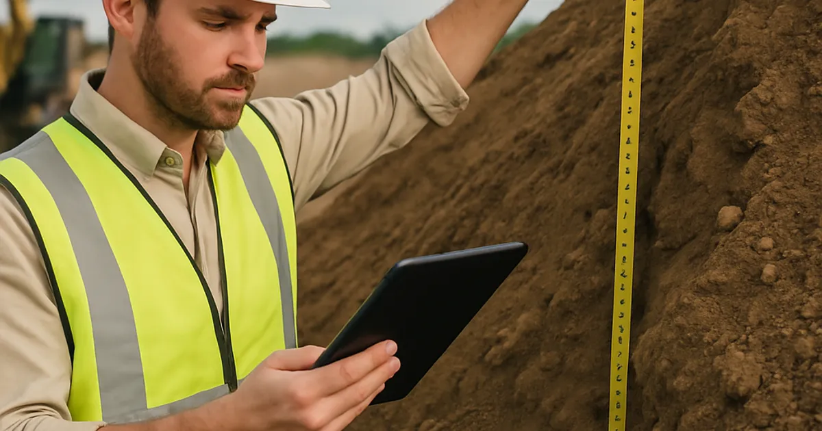
Not all dirt is created equal, and proper soil classification is both a compliance and quality control requirement on most engineered fill projects. Digital tools are making soil data more accessible.
USDA Web Soil Survey
The USDA's Web Soil Survey is the definitive free resource for soil series identification, available for the entire contiguous United States. It provides soil texture classifications, permeability ratings, bearing capacity estimates, and construction suitability ratings — all useful for preliminary site assessment.
Humboldt Mfg. — Digital Compaction Tools
For field compaction testing, Humboldt Manufacturing and Gilson Company both offer nuclear density gauge companion apps that allow technicians to log test locations via GPS, record results, and generate daily compaction reports. These digital workflows replace paper forms and ensure that compaction data — required by ASTM D1557 (Modified Proctor) and D6938 (nuclear gauge method) standards — is properly archived for project closeout.
atterberg.com and Geotechnical Reference Tools
Online Atterberg limit calculators, USCS classification tools, and plasticity chart apps are freely available and widely used by field technicians who need to quickly classify soil without a lab report. While not a substitute for formal laboratory testing, these tools support real-time decision-making on material acceptance and rejection.
Getting the Most From Your Digital Stack
With so many tools available, the risk of digital overwhelm is real. The most effective earthwork operators don't use every platform — they build a focused stack that addresses their specific workflow gaps.
For a mid-size grading contractor, a recommended core stack might look like:
| Function | Recommended Tool | Monthly Cost (Est.) |
|---|---|---|
| Material Matching | DirtMatch | Varies by tier |
| Project Management | HCSS HeavyJob or Fieldwire | $200–$800 |
| GPS/Grade Control | Trimble Earthworks | Hardware + subscription |
| Estimating | Agtek + HeavyBid | $500–$1,500 |
| SWPPP Compliance | State platform + iAuditor | $50–$200 |
| Weather | Weather Underground + NOAA | Free–$50 |
| Fleet Telematics | Cat App or EquipmentShare T3 | $20–$50/machine |
| Trucking | Trux | Per-load or subscription |
| Bid Sourcing | ConstructConnect or BuildingConnected | $200–$800 |
The total investment for a well-equipped mid-size contractor runs $2,000–$5,000/month in software subscriptions — a meaningful number, but typically a fraction of the savings generated by reduced haul costs, avoided rework, and faster billing cycles.
For contractors who are just beginning to build their digital infrastructure, starting with material matching and project management delivers the fastest ROI. If you're not already on a dedicated material exchange platform, get started with DirtMatch to immediately access a network of contractors and developers looking to source or offload earthwork materials in your market. The platform is particularly active in growth markets where construction activity is highest — including dirt exchange in Boulder and dirt exchange in Boston, where infill development generates constant material movement.
Building Your Digital Workflow: Implementation Tips
Adopting new technology is only valuable if field crews and office staff actually use it. Here are practical implementation strategies that experienced earthwork contractors recommend:
Start With One Problem
Don't try to digitize everything at once. Identify your single biggest operational pain point — whether that's finding fill material, managing compaction documentation, or tracking truck counts — and solve that first. Success with one tool builds organizational confidence for the next.
Choose Mobile-First Tools
Your field superintendents and operators are not sitting at desks. Prioritize tools with strong mobile apps that work offline when cell coverage is poor. iAuditor, Fieldwire, and Trux all score well on this dimension.
Integrate Where Possible
The greatest efficiency gains come when tools talk to each other. HCSS HeavyBid → HeavyJob integration is a prime example. Before purchasing any new tool, ask vendors what integrations they support — particularly with QuickBooks, Sage, or whatever accounting software you're running.
Train for Adoption
According to a 2023 survey by the Associated General Contractors of America (AGC), the number one reason construction technology fails is lack of training and adoption support, not technology quality. Budget for training time and designate an internal champion for each tool.
Measure What Matters
Set baseline metrics before you deploy any tool — haul cost per yard, rework percentage, bid win rate, days to invoice — and measure them quarterly after implementation. This creates accountability and helps you identify tools that aren't delivering value so you can cut them before they become sunk costs.
The Future of Digital Tools in the Dirt Industry
The next generation of earthwork technology is already emerging. Autonomous haul trucks are operating in mining environments and beginning to appear in large civil construction projects. AI-powered earthwork optimization — where algorithms calculate the theoretical minimum haul cost for a given cut-fill distribution — is moving from research to commercial deployment. Digital twin technology, which creates a real-time virtual model of a construction site, is being piloted by major infrastructure owners including state DOTs and the Army Corps of Engineers.
Material traceability — knowing exactly where every yard of fill came from, what its soil classification is, and whether it meets project specifications — is becoming a regulatory expectation, particularly for projects involving recycled materials or sites with environmental sensitivity. Platforms that can provide that chain of custody documentation will have a significant competitive advantage as regulatory requirements tighten.
For contractors who want to stay ahead of these trends, the foundation is the same: build a digital workflow now, learn to work with data, and stay connected to the platforms and communities where the industry is evolving. The earthwork contractors who are most profitable five years from now will be the ones who are most digitally fluent today.
If you're ready to see how technology is transforming material logistics specifically, explore DirtMatch Pro for advanced features designed to help high-volume operators manage material sourcing and offloading at scale. The platform is growing rapidly precisely because the dirt industry is recognizing that digital matching is far more efficient than the old way of doing things.
Final Thoughts
The tools covered in this guide span material matching, GPS and grade control, project management, estimating, compliance, trucking logistics, fleet management, and site mapping — essentially the full operational spectrum of an earthwork contracting business. No single contractor needs all of them, but every contractor has gaps that at least a few of these platforms can fill.
The best digital stack is the one your team actually uses, that solves real problems you face today, and that grows with your business as your project volume and complexity increases. Start small, measure results, and expand from there.
The dirt industry is changing. The contractors who embrace that change — and the right digital tools to navigate it — will be the ones building the projects, and the businesses, of the future.